

precision visuals. decisive power.
visual intelligence sectors

insurance & legal documentation
Rapid, court-admissible site visuals.
Drone-captured damage assessments (fire, storm, accident)
360° walkthroughs of interior/exterior loss sites
Timestamps, geo-referenced photos, and report-ready deliverables
Ideal for: Adjusters, legal teams, forensic consultants

property & asset management
Visual condition reporting made effortless.
Drone inspections of roofs, exteriors, and grounds
360° interior walkthroughs for maintenance, turnover, or disputes
Quarterly or annual visual reports for long-term tracking
Ideal for: Property managers, landlords, facility directors, REITs

infrastructure & utilities
Visual documentation for public works and engineering.
Drone mapping of roads, corridors, drainage systems, or utility zones
360° field capture of access points, pump houses, or work sites
Annotated PDF reports with embedded visuals and findings
Ideal for: Municipal engineers, contractors, infrastructure planners
Visual Intelligence
Turning imagery into insight.
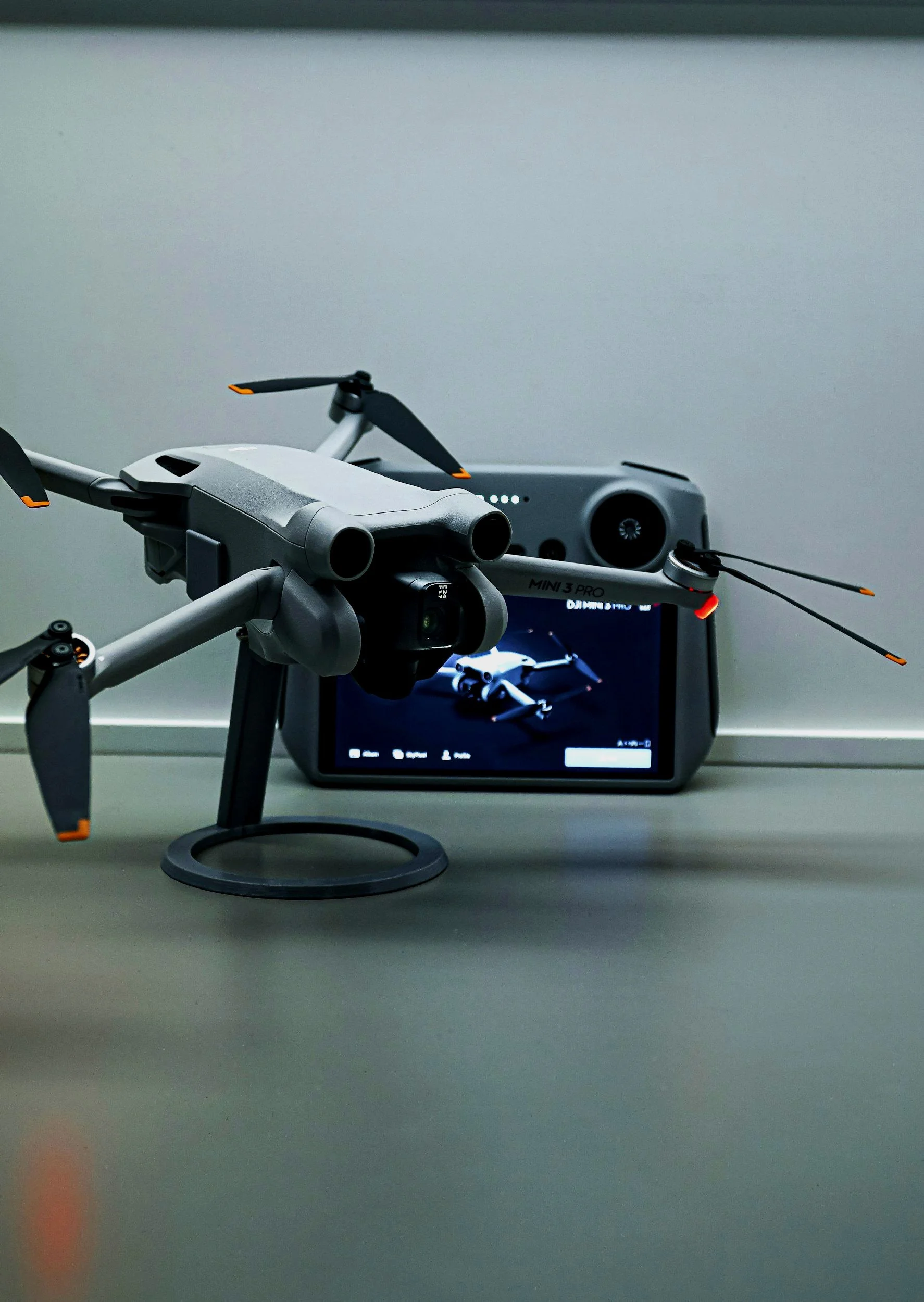
We deliver more than just impressive visuals — we provide actionable data. Using drones, 360° walkthroughs, and advanced mapping tools, we turn every angle of your site into usable intelligence. Whether you're managing a construction project, verifying insurance claims, marketing a property, or inspecting infrastructure, our visuals do the heavy lifting.
Our focus is simple:
Capture with precision
Translate into value
Deliver clarity and confidence
With fast turnaround, flexible file formats, and data you can trust, we help you see the full picture — and what to do next.
Contact Us
Interested in working together? Fill out some info and we will be in touch shortly. We can’t wait to hear from you!