Our Services
Precision visuals. Professional documentation. Delivered when it matters most.
We provide aerial and 360° imaging solutions for professionals who need to see clearly and act confidently. Every service is designed to deliver accurate, legally sound, and decision-ready results—whether you’re managing a property, assessing a claim, or documenting public infrastructure.
Orthomosaic Mapping
Stitch hundreds of images into a single, ultra-accurate top-down map. Ideal for tracking site progress, planning layouts, or documenting damage.
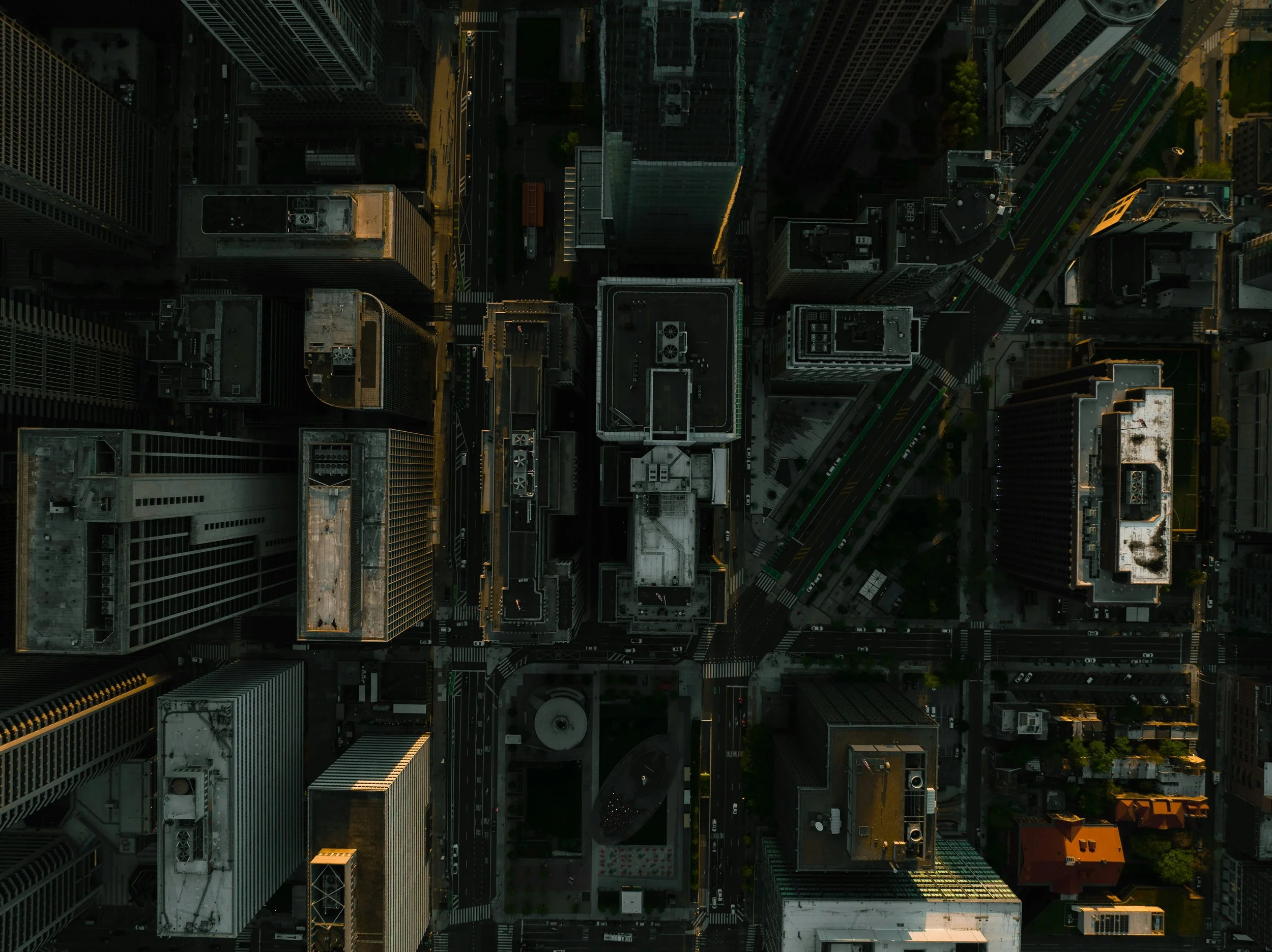
Aerial photography
High-resolution drone photography captures your project, property, or incident scene from every angle. Perfect for marketing, documentation, and insurance purposes.
3d Modeling
Turn photos into precise 3D reconstructions for inspections, site analysis, or presentations. Explore every detail virtually.
Volume & Stockpile Measurements
Quickly calculate volumes of materials like gravel, dirt, or debris. Useful for inventory control, billing verification, and site planning.
Progress Tracking
Compare site conditions week-over-week with consistent aerial and internal 360 updates. Track milestones, identify delays, and share visual reports with stakeholders.

Roof & Exterior Inspections
Access hard-to-reach areas without ladders or scaffolding. High-res drone images reveal cracks, leaks, and wear without interrupting site operations.
360° Virtual Walkthroughs
Interior and exterior walkthroughs that feel like you’re there. Perfect for real estate, insurance documentation, or remote client updates. Hosting options provided.

Insurance & Legal Documentation
Capture unbiased, timestamped visual records of property damage or construction status prepared by a licensed Private Investigator. Useful for claims, inspections, and legal proceedings.
Contact us
Interested in working together? Fill out some info and we will be in touch shortly. We can’t wait to hear from you!